A platform for studying the impacts of global climate change, land-cover change, alien plants and restoration actions on the composition, structure and functioning of high altitude grasslands and savannas of the Escarpment mountains of Mpumalanga and Limpopo provinces. The platform makes use of variation in land management and fire histories as experimental treatments against which biodiversity and ecosystem service responses are measured.
Click on the relevant sections below to quickly navigate to them.
Haenertsburg
DESCRIPTION
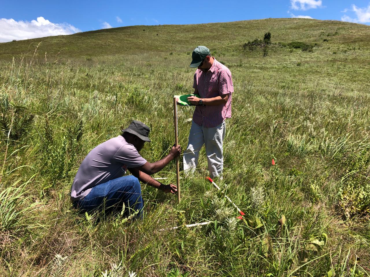
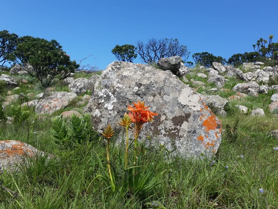
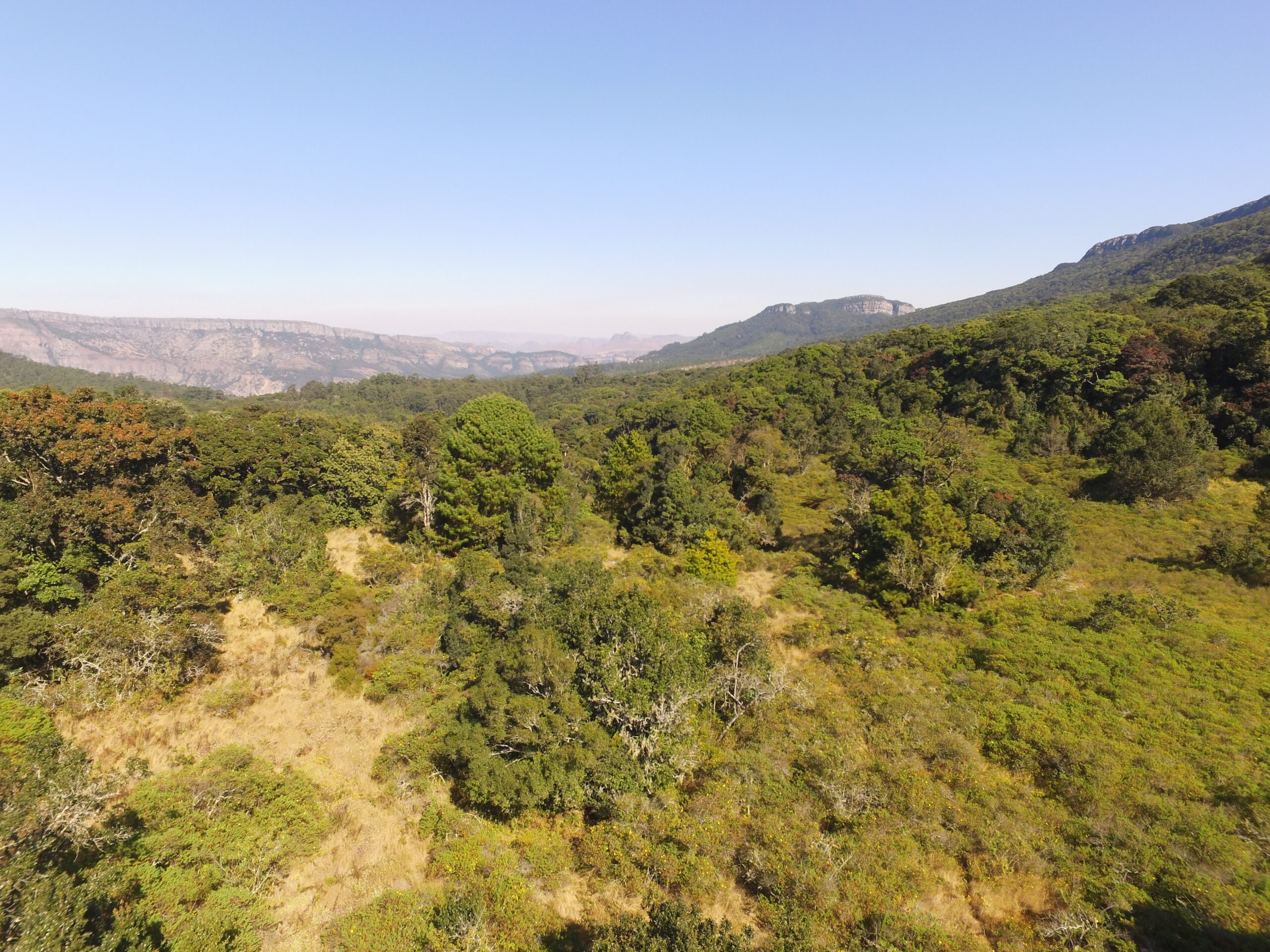
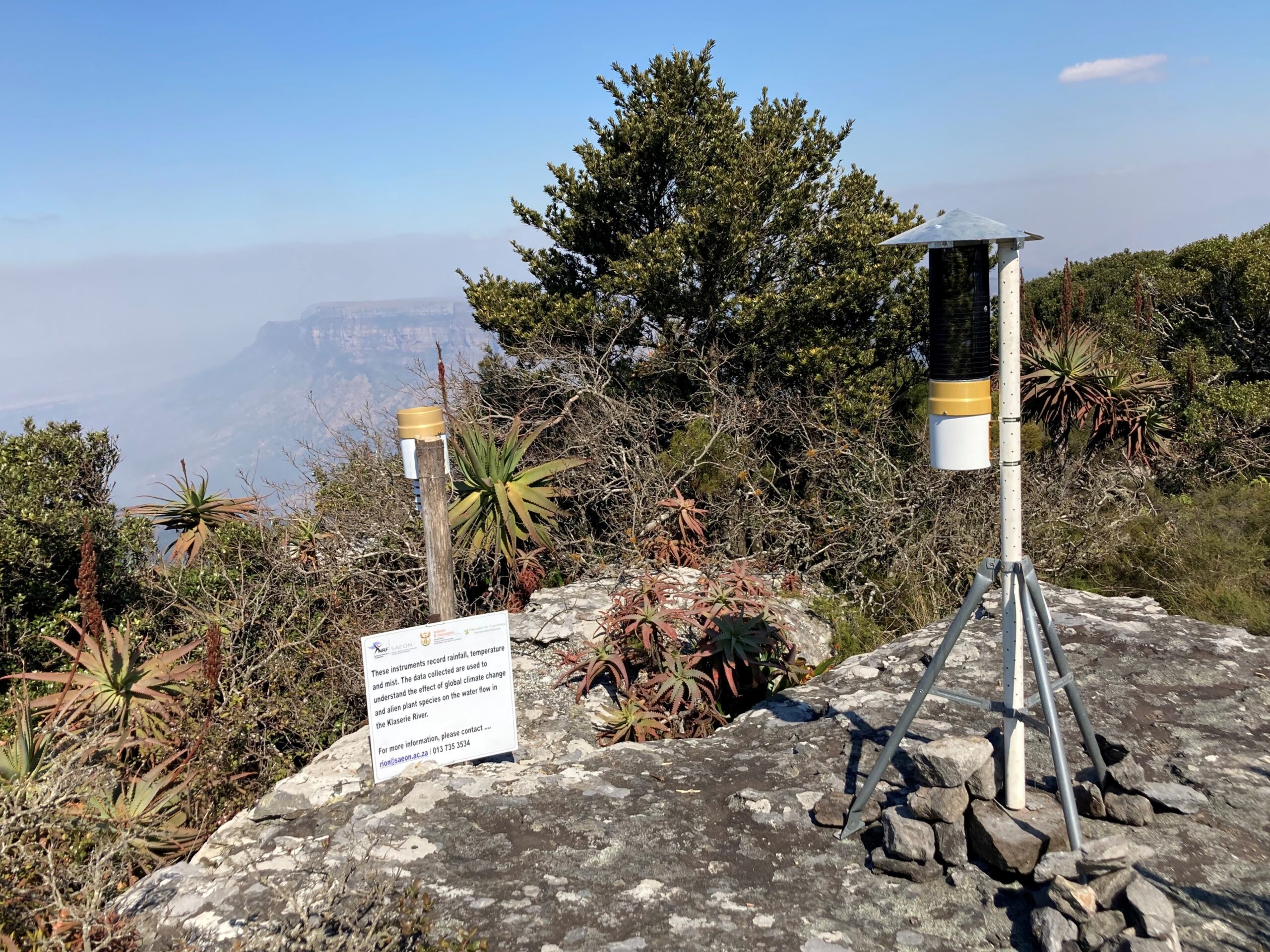
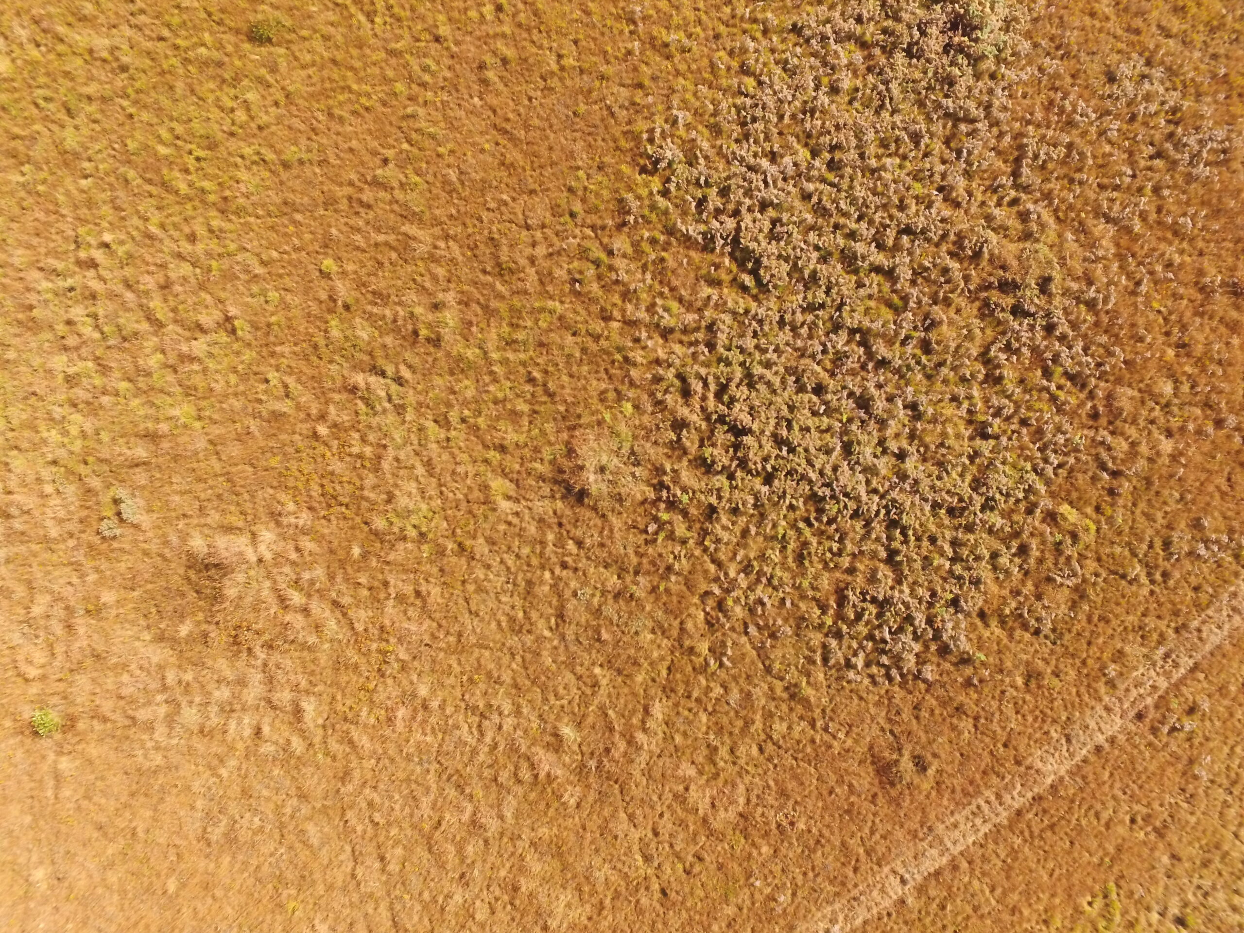
The Haenertsburg Nature Reserve (HNR) Observatory is situated in the hyper-diverse and critically endangered Woodbush Granite Grasslands (WGG) of Limpopo, and was initiated in 2009 to study the two main drivers of grassland vegetation – climate and fire, on grassland diversity and structure. Sitting at the altitudinal boundary between grassland, forest and savanna, the HNR observatory offers the opportunity to explore the implications of these drivers on the future of the biome. Of particular concern is the global phenomenon of woody encroachment and thickening in grass-dominated systems, which threaten local biodiversity and compromise the provision of associated ecosystem services. The observatory was identified as a site where irreversible biome state changes are likely to occur. Vegetation monitoring is augmented by on-site weather data collection, a fire-history reconstruction and high-resolution aerial photography.
DATASETS
Vegetation composition and structure data, as percent aerial cover for grasses, forbs and woody individuals (also include stem counts and heights) from annual and triennial fire-treatment areas.
Above- and below-ground trait data for dominant species.
Population demographics data for the endangered Aloe lettyae
Multidecadal land-cover change and fragmentation metrics for the greater WGG
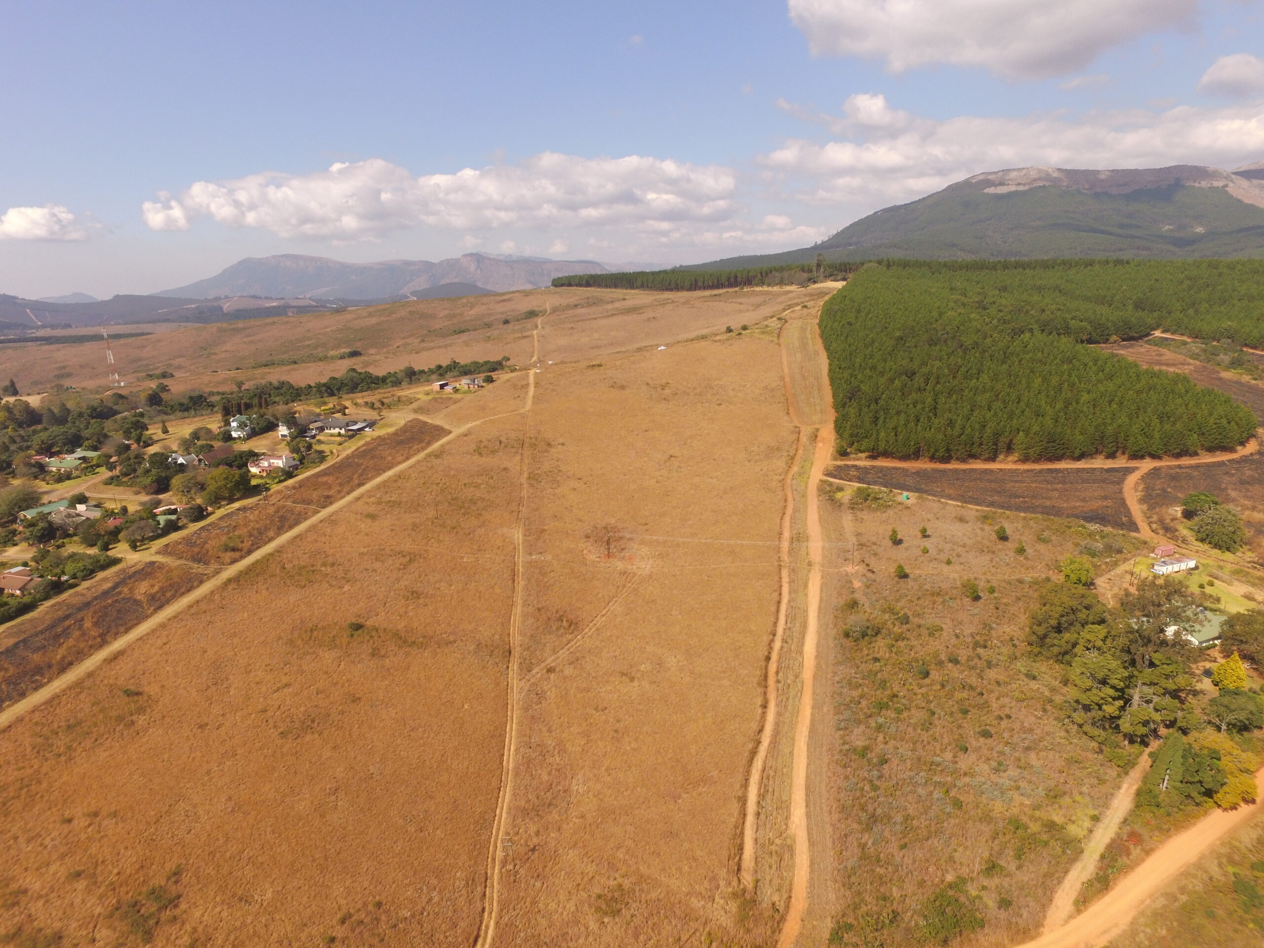
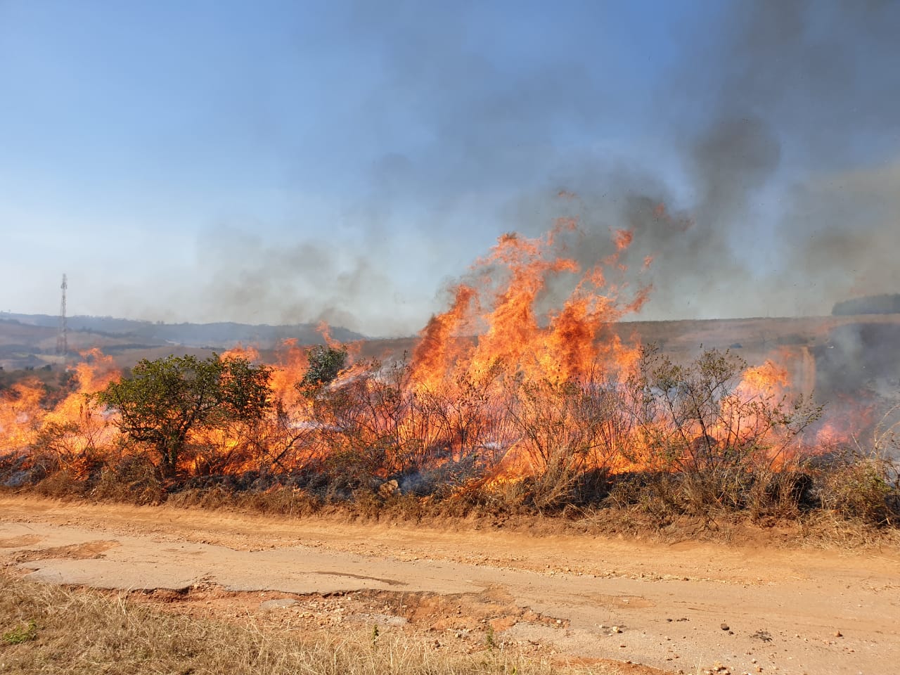
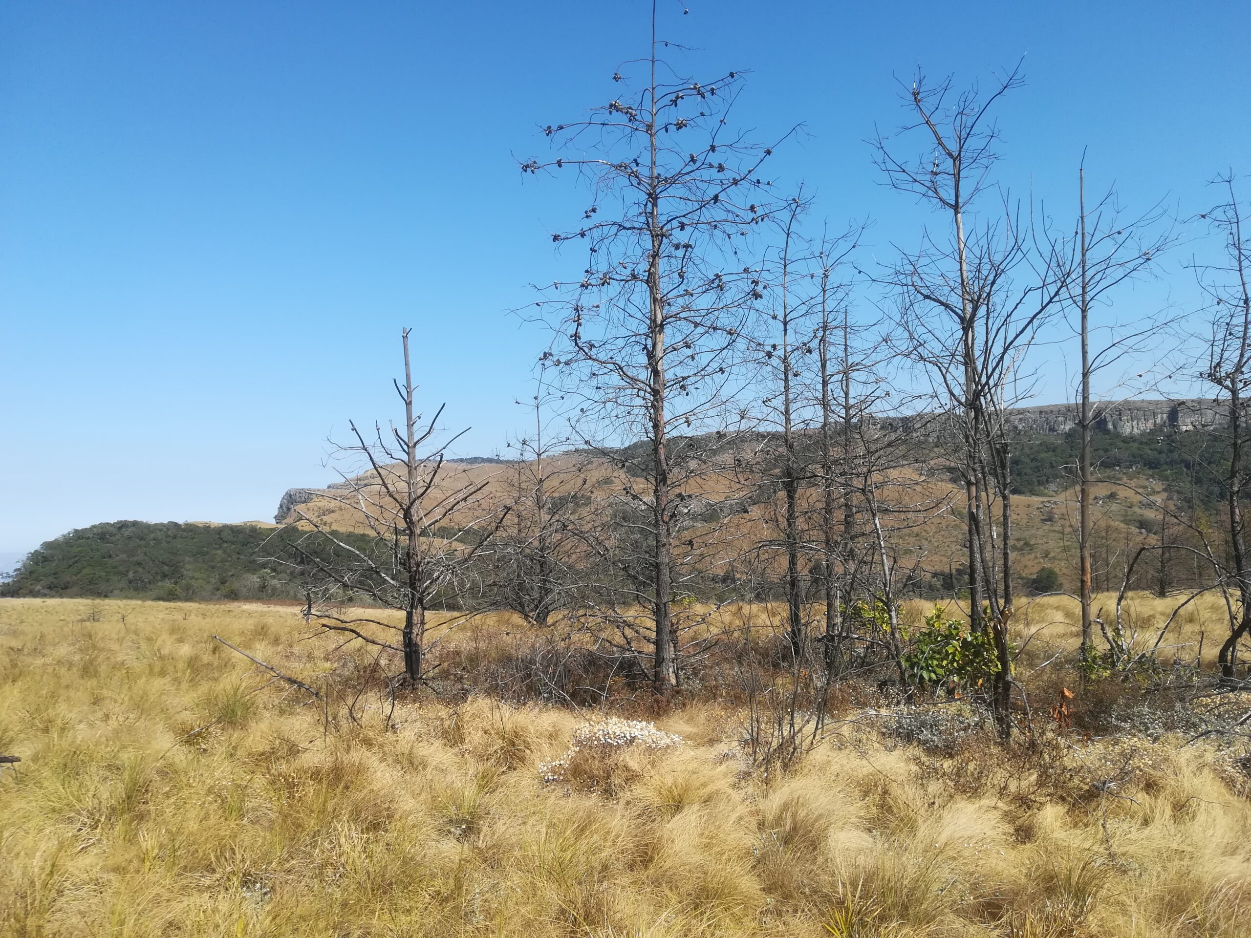
The slopes of the Mariepskop and Hebron mountains in Mpumalanga were densely afforested from the 1930’s to the 1980’s. Following the withdrawal of forestry and land restitution in the early 2000’s, the area will be included in a neighbouring provincial nature reserve, and passive restoration of the grasslands and savanna ecosystems that once covered these slopes is underway. In 2018 studies were initiated to understand the drivers of restoration in these systems, including alien plant clearing and fire, as well as the impact of vegetation changes on the rivers that drain these high rainfall catchments.
DATASETS
Vegetation cover (transect scale)
Aerial photography (resolution sub-decimeter and 20 cm)
Vegetation cover classification (resolution: 30 m)
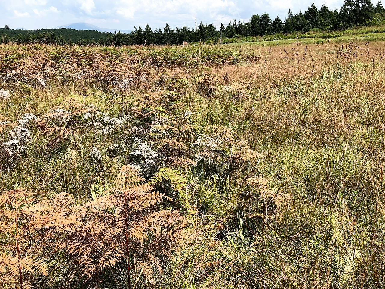
The Swartbos site is a tiny fragment of critically endangered Woodbush Granite Grassland flanked by northern Afrotemperate Forest. The observatory was initiated in 2020 with the establishment of vegetation transects through open, grass-dominated areas and also areas heavily infested with Pteridium aquilinum, or bracken. Bracken is a global threat in higher-rainfall grassland and woodlands, where it reduces biodiversity, inhibits grazing, increases soil erosion, and increases soil and run-off toxicity. Bracken is being manually cleared through the growing season in selected parts of the observatory, providing the opportunity to test the feasibility of the control method against recovery of the vegetation. Vegetation monitoring is augmented by a fire-history reconstruction and high-resolution aerial photography.
DATASETS
Vegetation composition and structure data, as transect point-intercepts
Above ground biomass, vegetation height and above-canopy and ground-level photosynthetically active radiation
Haenertsburg Nature Reserve Protected Area Management Plan (compiled by Friends of the Haenertsburg Grasslands (FroHG, 209-267 NPO) and Kruger to Canyons Biosphere Region NPC, 2020)
Swartbos Grassland Adaptive Management Plan (Kremer-Köhne, S. and Thompson, D.I., 2020)
MEDIA
The Swartbos observatory, which featured in the article Tackling a BIG problem in a SMALL grassland: Beating bracken for biodiversity’s sake, published in issue 4 of SAEON eNews 2020, was included in the NRF Highlights/Impacts Report 2015-2020