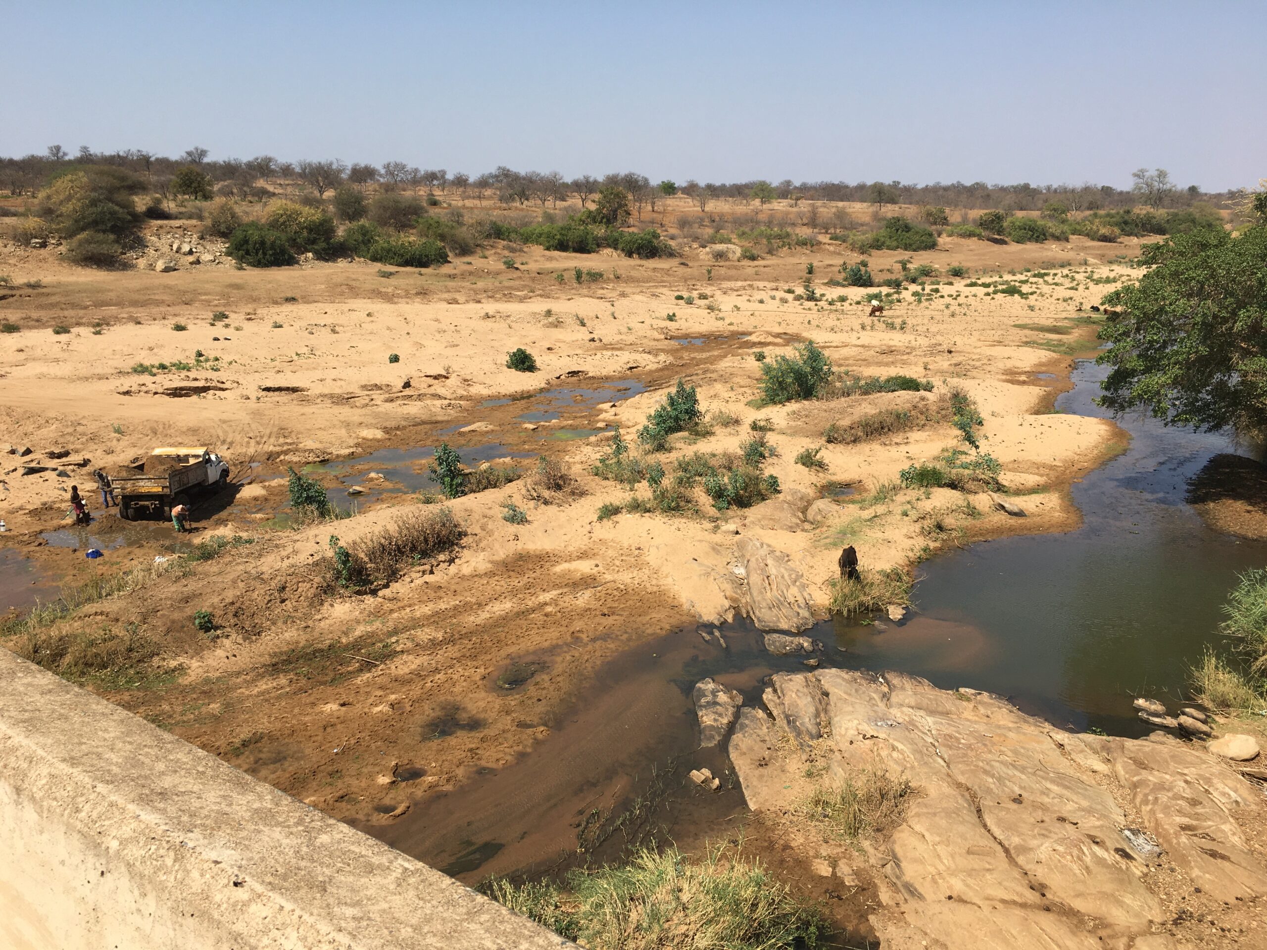
The rivers of the Lowveld provide a variety of vital services to the region, providing freshwater that supports extensive agriculture, mining and eco-tourism. However all are compromised by damming, high levels of abstraction, reduced base flows and contamination by local pollution sources. This platform focuses on understanding the effect of these factors on river flows and riparian and aquatic biodiversity, as well as the role that protected areas play in ameliorating contamination, improving flows and sustaining diversity.
Click on the relevant sections below to quickly navigate to them.
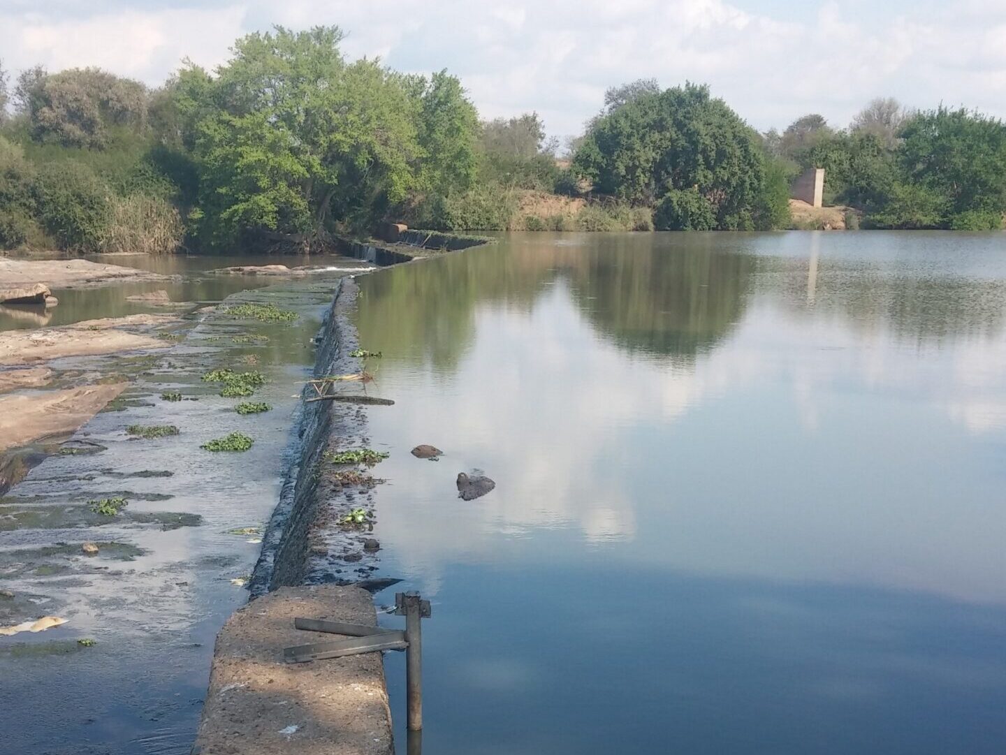
Lower Olifants River
DESCRIPTION
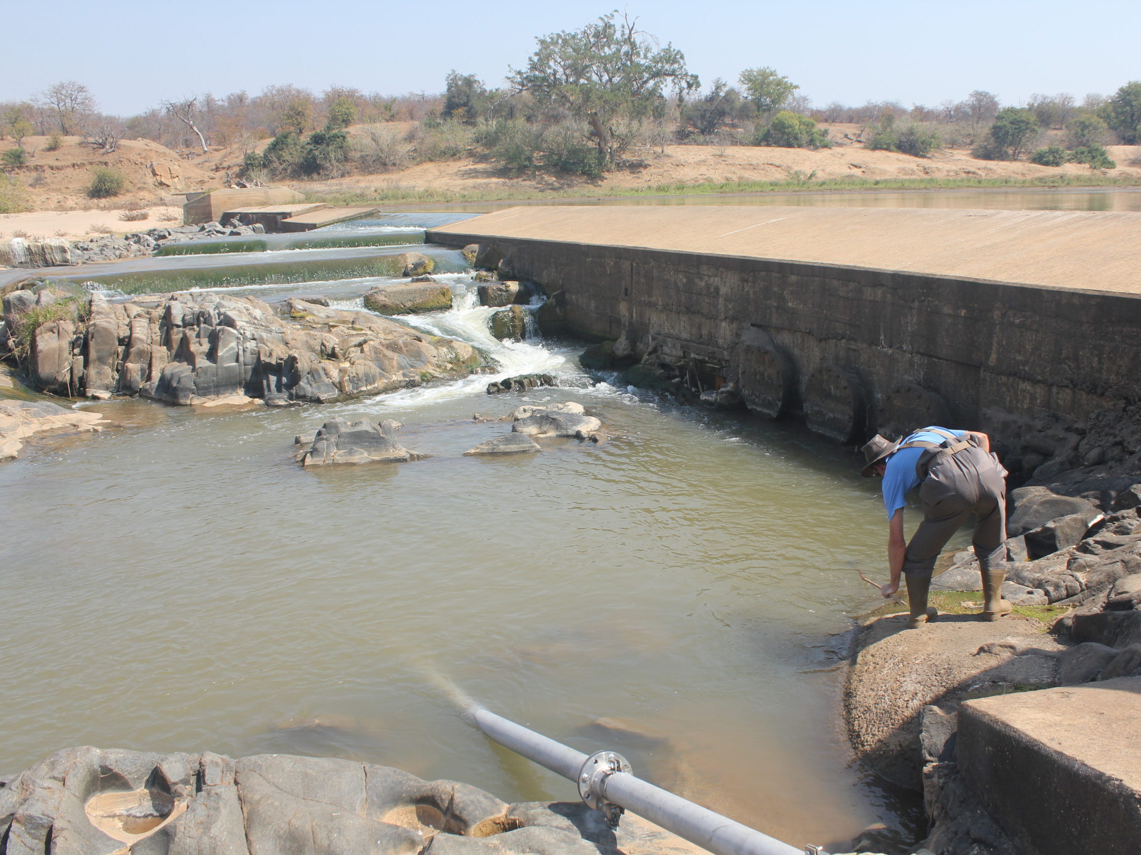
Many long-term datasets have been collected at sites on the lower Olifants River, and its major tributaries, by the Department of Water Affairs and Sanitation and environmental consultants. These have been acquired and augmented at selected sites, where rivers flow from one land use or management type to another, to study the impact of land management actions.
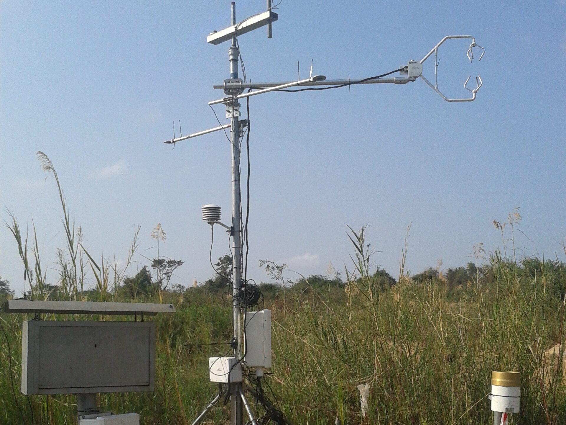
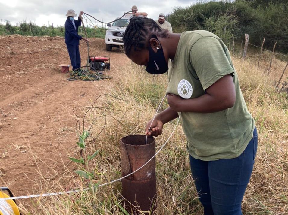
Linkages between river flows and groundwater are thought to play a critical role in maintaining the flow of many of the perennial rivers of the region. An array of groundwater level loggers (piezometers), together with weather stations and river flow gauges, was established in 2015 to study these linkages, at a site where the Letaba River enters the Kruger National Park.